
Biomes of the World
Forests cover 65 percent of the total land surface, and they are not all alike.
Forests range from the high latitude, cold boreal forests located primarily in Canada, Russia, and Scandinavia, through temperate forests in the mid latitudes of North America, Eurasia, New Zealand, and most of Australia and southern South America, to tropical forests in Central and South America, Africa, and Asia.
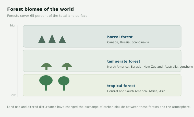
Land use and human modified rates of natural disturbance have directly and indirectly altered the exchange of carbon dioxide between forests and the atmosphere. Many different ecosystem process models are used to model carbon cycles in these biomes, and the choice of model has to suit the forest in question.
Boreal systems respond strongly to fire and to a short growing season. Temperate systems such as those of Northern Wisconsin carry the long history of harvest and management studied by this lab. Tropical systems cycle carbon far faster. A single canopy model struggles to represent all three, which is part of why Biome BGC was extended to many vegetation types.